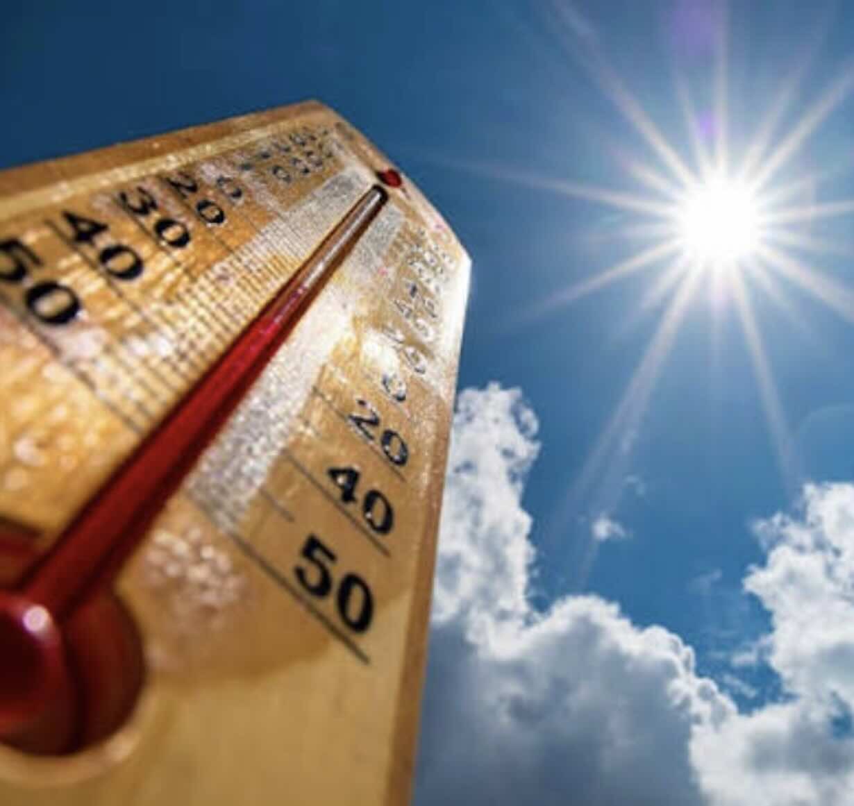
Rome – Summer shows no signs of giving up. After weeks of exceptionally high temperatures, Italy's sixth heat wave is on the way, expected between Friday, September 4th and Wednesday, September 9th. A new African heatwave could push temperatures up to 37-38 degrees Celsius, significantly higher than the seasonal average.
Lorenzo Tedici, meteorologist for IlMeteo.it, provides the assessment, according to which the situation would be even more extreme if the same atmospheric configuration had occurred in the height of summer.
Abnormal temperatures even in September
"It seems like a paradox, but these days we can almost breathe a sigh of relief," observes Tedici, emphasizing that the forecast temperatures, while high, will be lower than the peaks that would have been recorded in July with similar atmospheric conditions.
The African anticyclone, in fact, will once again expand forcefully toward the heart of Europe, even affecting Germany. According to the meteorologist, such a configuration could have pushed temperatures above 41-42 degrees Celsius in mid-July.
In September, however, the shorter days act as a partial barrier. "In Milan, we can count on 13 hours and 16 minutes of sunshine, while in Rome, we get 13 hours and 8 minutes," explains Tedici. Compared to the summer solstice, there are about two hours of solar radiation missing, a factor that limits the most extreme peaks.
Milan and Rome set new records
The heat, however, will be far from negligible. Temperature anomalies could reach up to 8 degrees above seasonal averages.
Temperatures of 34-35 degrees Celsius are expected in Milan, values that could approach the all-time monthly record of 34,6 degrees Celsius, recorded at the Brera station on September 1, 2024.
Even higher temperatures are expected in Rome, where highs could reach 35-36 degrees Celsius. A comparison with recent climate history is also possible in the capital: the monthly record of 35,6 degrees Celsius dates back to September 3, 1982, and was equaled on September 7, 2024.
The real alarm is in the seas
But the most sensitive aspect of this new heat wave, according to the analysis, may not be just air temperatures. Of particular concern is the heat accumulated by the Mediterranean, which continues to experience very high temperatures.
The warm sea represents a great reserve of energy. And this energy could become crucial when, in the coming weeks, the first incursions of cold air from Northern Europe meet the warm, humid air mass present over the Mediterranean.
From scorching summer to autumnal downpours
The transition could be particularly abrupt. While the days are getting shorter in Northern Europe and the first waves of cold air from the polar regions begin to make their way, the Mediterranean will continue to retain some of the heat accumulated during the summer.
When an Atlantic disturbance reaches the Mediterranean basin, the collision between cold air and a warmed sea surface could lead to strong thunderstorms, downpours, and extreme weather events.
This, then, is the paradox of a season characterized by off-the-charts heat: the last blaze of summer could pave the way for an autumn marked by particularly intense episodes of bad weather.
The analysis concludes that a return to more stable and less extreme conditions may still take some time. To definitively leave behind this long period of thermal instability, it may be necessary to wait for the arrival of the cold season.