Weather changes: Italy splits in two. Storms arrive in the North, while temperatures in the South remain at 45 degrees Celsius.

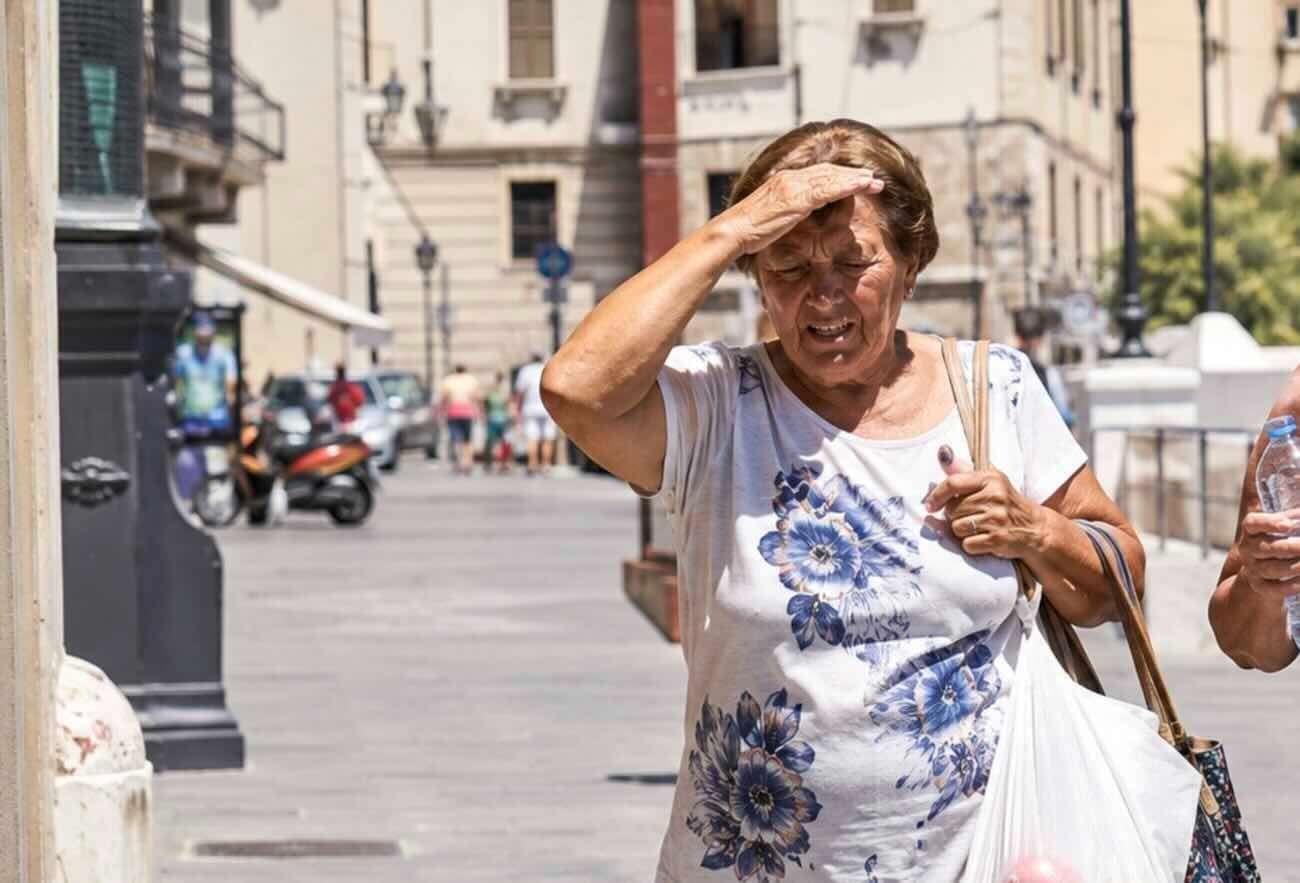
In the image, a reference to the narrated facts.
Italy is bracing for a turbulent weather transition. Monday, July 20, 2026, represents a turning point, but the farewell to the third, scorching summer heat wave will not be painless. The country is literally divided: a North already taking a breather and a Center-South still gripped by the African anticyclone, with the threat of extreme weather.
The latest heat wave in the South: Sicily and Sardinia at 45°C
Heatwave resistance is stubborn, especially on the major islands. While Milan and Turin are experiencing highs between 29 and 33 degrees Celsius, southern Italy is experiencing its last, dangerous peak today. Inland areas of Sicily and Sardinia could see scorching temperatures of up to 44-45 degrees Celsius, while in central regions, temperatures will fluctuate between 37 and 38 degrees Celsius. This temperature differential heralds the atmospheric chaos of the coming hours.
Health alert: 17 red dots
It's not just a matter of temperature, but of survival. The Ministry of Health's bulletin has raised the alert level, assigning the dreaded red flag (level 3) to 17 monitored cities. The blacklist includes major cities such as Rome, Florence, Naples, Palermo, Bari, and Catania. This parameter doesn't reward the hottest city, but rather signals a condition of extreme health risk for at least three consecutive days, capable of endangering not only the elderly and frail, but also the active and healthy population.
Tuesday 21st: A day of fear amidst hail and downpours
The crisis is expected to peak on Tuesday, July 21st. A wave of cool air from Northern Europe will act as a trigger, igniting a veritable "weather bomb." The contrast between the incoming cold air and the pre-existing African heat wave will generate exceptionally violent thunderstorms in Lombardy, Triveneto, and Emilia-Romagna, before rapidly spreading to the Marche region. The weather forecast is clear: a high risk of devastating hailstorms, sudden downpours, and gusts of linear wind. It will be a chaotic day, where within a few kilometers, the sun could turn into a deluge.
Temperatures plummet on Wednesday: 10 degrees Celsius lower
Between late Tuesday and Wednesday, July 22nd, cool air will finally conquer much of the Italian peninsula, bringing temperatures back to the seasonal average. The cooldown will be drastic: models predict a vertical drop in highs of up to 10 degrees Celsius, especially on the Adriatic coast and in inland areas of the south. In Sicily and the south, however, the heat will only gradually ease, accompanied by an increase in the Tramontana and Mistral winds that will sweep away the mugginess.
The Civil Protection alert
Today, the Civil Protection Department issued a yellow alert for thunderstorms in four key regions: Lombardy, Veneto, Emilia-Romagna, and Marche. Showers will be intermittent but locally intense in the Alpine and pre-Alpine regions. This apparent respite precedes a more organized front of disturbance.
Just a truce? The shadow of a new wave.
Anyone hoping for a definitive change may be disappointed. Long-term projections for the following week, the end of July, already show the tail end of a possible new African flare-up. The cool-down will come, it will be intense, but it risks being only a temporary respite before a new assault from the anticyclone. Summer 2026 is far from over.
Breaking News
"We'll be stopping soon" is the slogan that's plastered across Naples taxis.
Naples - A sign that is both a warning and a sign of surrender. From today, gradually,… Read more
Santa Maria Capua Vetere: Woman brings drugs to husband in prison; arrested during interviews
A new crackdown on drug trafficking inside the Santa Maria Capua prison... Read more
- Cilento
- Judicial Chronicle
- Chain drive
- Flash NEWS
- Live
- live,
- Salerno and Province
- Socials
- Stories
- Breaking News
Palinuro, he killed the thief who shot him: acquitted for self-defense
Centola - He acted to save his own life while his home was being raided.… Read more
SuperEnalotto: No 6s in the July 30rd draw, jackpot at €202,2 million
Superenalotto, here's the winning combination: 20-47-75-76-78-89 Jolly Number: 9 Superstar Number: 89 Read more
10eLotto Winning Numbers for Today, July 30, 2026
In tonight's 10elotto draw, the following numbers were drawn: 09 - 11 -… Read more
Lotto draws for Thursday, July 30, 2026
Here are today's lottery results for July 30, 2026, Bari 68 - 87 -… Read more